NOAA Storm Prediction Center
Convective Outlooks
Convective Outlooks
The convective outlooks serve as guidance to the local NWS forecast offices and are used by emergency managers, private sector meteorologists, media, and other weather customers concerned with public safety. Three separate risk areas (slight, moderate, and high) are used to describe the expected coverage and intensity for the categorical severe weather threat on days 1-3 along with severe weather probabilities for the potential threat.
|
|

Categorical Day2 0700Z Outlook
|
|
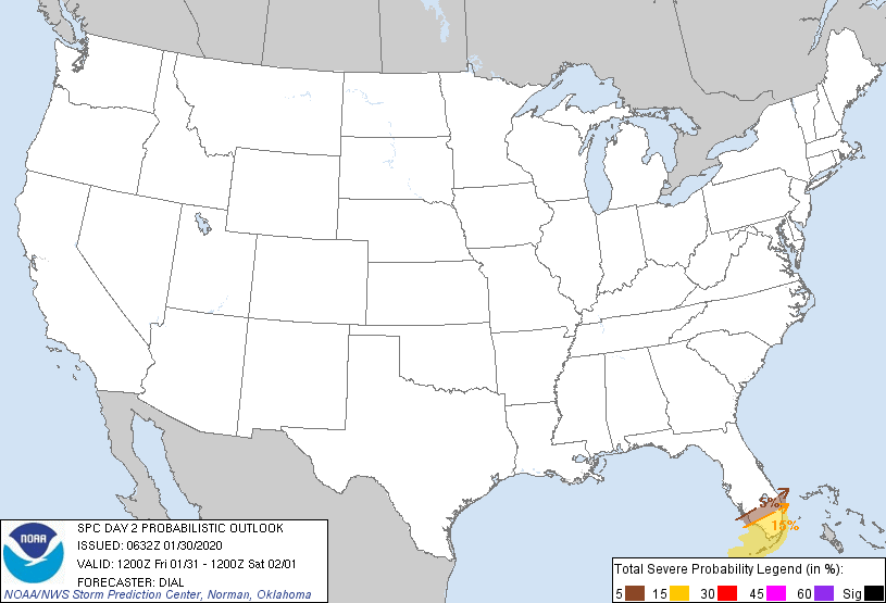
Probability of severe weather within 25 miles of a point.
Hatched Area: 10% or greater probability of significant severe weather within 25 miles of a point.
|
|
|
Images courtesy of the NWS Storm Prediction Center
000
ACUS02 KWNS 200559
SWODY2
SPC AC 200558

Day 2 Convective Outlook
NWS Storm Prediction Center Norman OK
1258 AM CDT Sat Apr 20 2024

Valid 211200Z - 221200Z

...NO SEVERE THUNDERSTORM AREAS FORECAST...

...SUMMARY...
Isolated thunderstorms will be possible on Sunday across parts of
the Gulf Coast region, but no severe threat is expected.

...DISCUSSION...
An upper-level trough will move through the mid Mississippi Valley
on Sunday, as a cold front advances southward into the northern Gulf
of Mexico. Thunderstorms will be possible in the vicinity of the
front early in the day near the western and central Gulf Coast.
Further east, thunderstorms will also be possible in southern parts
of the Southeast, and across the central and northern Florida
Peninsula. Instability in the vicinity of the front is expected to
be weak, which will limit any severe potential. Elsewhere across the
continental U.S., thunderstorm development is not forecast Sunday or
Sunday night.

..Broyles.. 04/20/2024

$$